


 Low-Altitude security(Anti-drone)

 Life Detection & Search

 Through-wall Detection

 Access Control

 Perimeter Security


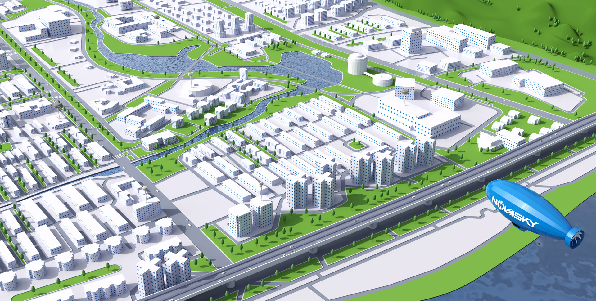
Support Grid and Integrated Supervision
The platform supports docking with the city video private network, and quickly locates and confirms the identity of the drone pilot within a specific range.

In the face of increasingly complex urban drone application scenarios, grid-based managing the general urban airspace, dividing different regional grid levels, and using the drone countermeasure system to detect and counteract the key grid airspace under control, to realize the functions of drone positioning, identification, driving away, and pilot positioning. Build an urban grid drone monitoring platform to achieve centralized and unified supervision of urban low-altitude airspace.
The platform supports docking with the city video private network, and quickly locates and confirms the identity of the drone pilot within a specific range.
Full-band, all-round detection, support environment learning on-site database building, and realize rapid identification of new drones
Distributed deployment of monitoring sites, accurate identification and positioning within and outside the multi-site area

